
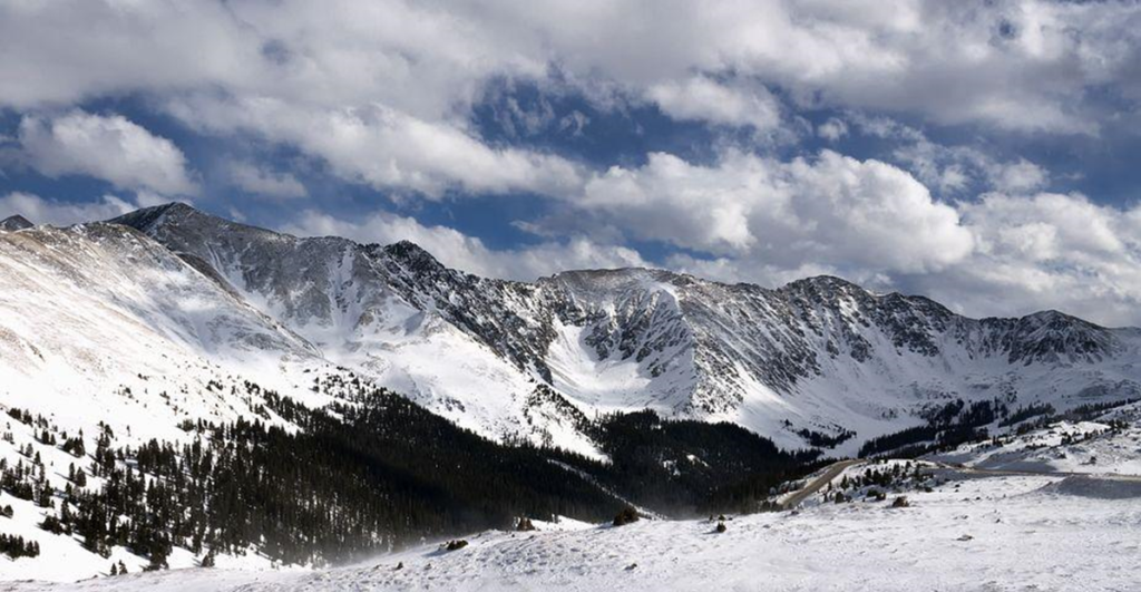
Winter has generally started moderately across the nation. However, a blast of ice-cold air coming into North America from Siberia is likely to cause a deep frost across the eastern two-thirds of the country in the days leading up to Christmas.
Siberia is one of the world’s coldest regions in the winter season. On Monday earlier this week, Yakutsk experienced an incredible temperature decrease of 78 degrees Fahrenheit (61 degrees Celsius).
Temperatures have been above average since late October in many states. This has changed our weather pattern. This strong storm system swept through the nation and into the Great Lakes.
The weather is becoming colder day by day. Temperatures are expected to stay below average for the rest of this month. The temperature could fall much below average.
What is the reason behind this? The main reason is the polar vortex. Let’s start by discussing what a polar vortex is.
The National Oceanic and Atmospheric Administration defines the polar vortex as a large area of spinning colder air parked in polar areas. This is a low-pressure area.
During the winter, the polar vortex around the North Pole keeps growing, carrying cold air to the South. This commonly happens and is typically related to cold weather in the US. A powerful jet stream, which resembles a river of air that is continually flowing, frequently encircles the North Pole.
A strong jet stream traps polar vortex air closer to the pole. The polar vortex might, however, be split apart if this jet stream weakens enough, enabling chilly air to escape and go southward.
A similar scenario is currently occurring. Over the next few weeks, the Polar jet stream will continue to diminish. The North Pole’s chilly air is already escaping and moving toward the northern United States.
The extremely cold air will move over North America in two waves the following week as atmospheric energy drives it across northern Asia and into the northwest region of the continent.
Some meteorologists predict that by the beginning of next week, the atmospheric energy generating the cold will descend south from the Gulf of Alaska and into the Pacific Northwest. It will cross into the upper Midwest and northern Rockies from Monday through Tuesday.
What are the chances of a white Christmas, which is the top concern for all meteorologists? This forecast is often tough for meteorologists to make, particularly in the Ohio Valley.
In far southern Ohio, there is a 12% probability that this will occur on average, compared to a 50% risk in Northeast Ohio’s Snow Belt.
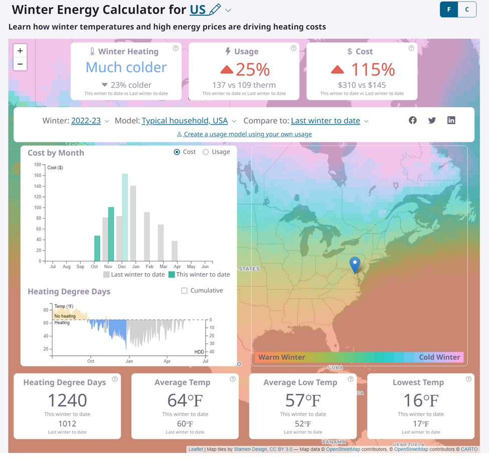
If at least one inch of snow is on the ground on Christmas Day, it is considered a “White Christmas.” According to prediction, a White Christmas has a greater than usual chance of occurring. There are chances that energy usage during this time will also go up, so a handy Winter Energy Calculator will help you to calculate the energy usage. So, are you prepared for the White Christmas?
North America may see some of the planet’s coldest weather during the upcoming week due to the strength of the freezing area of high pressure, which is predicted to be in the northern Rockies and is a significant factor of the polar vortex. Predictions indicate that the high pressure will rise above Montana to more than 1070 millibars (31.60 inches of mercury). If accurate, it would break the high-pressure state record set on Christmas Eve 1983 at Miles City, which was 1064 millibars (31.42 inches of mercury).
After that storm, it’s expected that cold air will move over multiple Southeast states, with the possibility of severe freezes in the interstate 20 and 10 corridors and into regions of the Florida Peninsula around or just after Christmas. Forecaster advises travelers not to go out for holidays for enjoyment. It can be harmful for any human being to go out because of this changing weather. Pleas stay safe, protect your family, and have a Merry Christmas!